EAC Logo


Demoratic Republic of the Congo

The Democratic Republic of the Congo (DRC) is the newest member of the East African Community.

The Democratic Republic of the Congo acceded to the EAC Treaty on 8 April 2022 and became a full member on 11 July 2022.

Key facts

Joined EAC:  July 2022

Population:  92.9 million

GDP (nominal):  US$ 50 Billion

Official language:  French

Timezone:  GMT + 1 to + 2 (WAT and CAT)

Currency:  Congolese franc (CDF)

Geography

Area:  2,345,000 sq. km

Coastline:  40 km (Atlantic Ocean)

Capital city:  Kinshasa

Population density (per sq. km):  37

The Democratic Republic of the Congo (DRC) is located in central sub-Saharan Africa, bordered to the northwest by the Republic of the Congo, to the north by the Central African Republic, to the northeast by South Sudan, to the east by Uganda, Rwanda and Burundi, and by Tanzania (across Lake Tanganyika), to the south and southeast by Zambia, to the southwest by Angola, and to the west by the South Atlantic Ocean and the Cabinda Province exclave of Angola. The country lies between latitudes 6°N and 14°S, and longitudes 12°E and 32°E. It straddles the Equator, with one-third to the North and two-thirds to the South.

Languages

French is the official language, but Lingala, Kiswahili, Kikongo, and Tshiluba are widely spoken.

Communications

Country code +243; internet domain ‘.cd’.

Public holidays

New Year’s Day, Martyrs' Day (4 January), Heroes' Day - Laurent Kabila (16 January), Heroes' Day - Patrice Lumumba (17 January), Labour Day (1 May), Liberation Day (17 May), Independence Day (30 June), Parents’ Day (1 August), Christmas Day (25 December) and Boxing Day (26 December).

Religious festivals whose dates vary from year to year include Good Friday, Easter Monday, Eid al-Fitr (End of Ramadan) and Eid al-Adha.

Transport

The DRC has a road network of 153,000 km of which 58,000 km are of General interest (national roads), 88,000 km are rural roads while 7000 km are urban roads. Out of this only 3,500 km, representing about 6% are tarmacked.

The DRC also has a total of 4,000 km of railways

The DRC has 13,450 km navigable waterways (1,734 km is between Kisangani and Kinshasa); 40 river and lake ports; 3 Maritime ports (Matadi, Banana and Boma);

There are 4 international airports (Goma, Kisangani, Kinshasa and Lubumbashi) and more than 500 airstrips. Because of the size of the country and scattered population, air services have become the most significant form of internal transport for official and business travel.

International relations

The DRC is a member of various regional organisations including the Southern African Development Community (SADC), the Common Market for Eastern and Southern African (COMESA), the Economic Community of Central African States (ECCAS), the Economic Community of the Great Lakes Countries (CEPGL) and International Conference on the Great Lakes Region (ICGLR). At the Continental level, it is a member of the African Union, while at the global level it is a member of the United Nations and has ratified most of its affiliated instruments.

Topography

The country’s major topographical features include a large river basin, a major valley, high plateaus, three mountain ranges, and a low coastal plain. Most of the country is composed of the central Congo basin, a vast rolling plain with an average elevation of about 1,700 feet (520 metres) above sea level. The lowest point of 1,109 feet (338 metres) occurs at Lake Mai-Ndombe (formerly Lake Leopold II), and the highest point of 2,296 feet (700 metres) is reached in the hills of Mobayi-Mbongo and Zongo in the north.

Climate

The DRC is located along the equator. Thus, the country experiences a tropical equatorial climate with high precipitation and tropical thunderstorms. Its climate is equatorial, hot, humid in the center, and progressively more tropical towards the South and the North. The rainy season, which lasts on average eight months out of 12, alternates with a dry season. High humidity in the Democratic Republic of the Congo and high temperatures provide pleasant weather at times.

Environment

Major environmental issues in DRC are deforestation, occasioned by clearing of lands for agriculture and economic development; poaching, which threatens wildlife populations; water pollution; and mining.

Vegetation

The DRC has 80 million hectares of arable land.

The vegetation is dense and diverse. The equatorial half of the country is covered with forests, while near the tropics, the other half is dominated by the savannah.

The country is divided into three agro-ecological zones including a vast alluvial basin in the center, whose altitude is between 300 and 500 m, that covers one third of the territory. Its vegetation consists of equatorial forests and marshes. It is fairly sparsely populated; tiered savannah plateaus border this basin to the north and south (700- 1200 m above the sea level), and are more densely populated; the northeast (1500 - 5000 m) (in the Kivu region) have a very high population density. This chain separates the Congo River basin from that of the Nile.

Wildlife

The rainforests of the Democratic Republic of the Congo contain great biodiversity, including many rare and endemic species, such as the common chimpanzee and the bonobo, the African forest elephant, the mountain gorilla, the okapi and the white rhino.

Five of the country's national parks are listed as World Heritage Sites: the Garumba, Kahuzi-Biega, Salonga and Virunga National Parks, and the Okapi Wildlife Reserve.

The Congo is inhabited by several great ape species including the common chimpanzee (Pan troglodytes), the bonobo (Pan paniscus), the eastern gorilla (Gorilla beringei), and possibly the western gorilla (Gorilla gorilla). It is the only country in the world in which bonobos are found in the wild.
East African Community Leadership

The Summit of EAC Heads of State


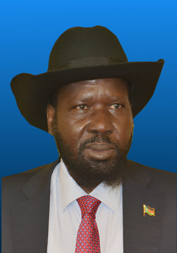
H.E President Salva Kiir
Chairperson of the Summit

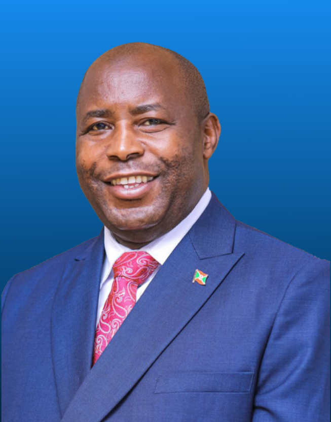
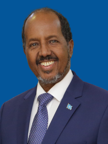
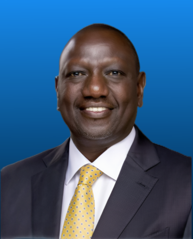
H.E President Evariste Ndayishimiye    H.E. Félix-Antoine Tshisekedi Tshilombo   H.E Hassan Sheikh Mohamud    H.E President William Ruto      

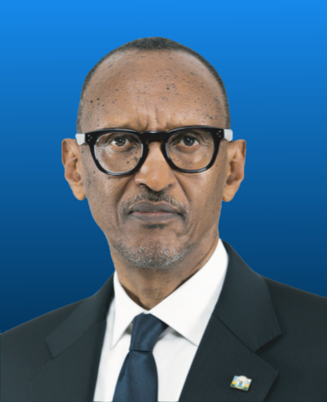
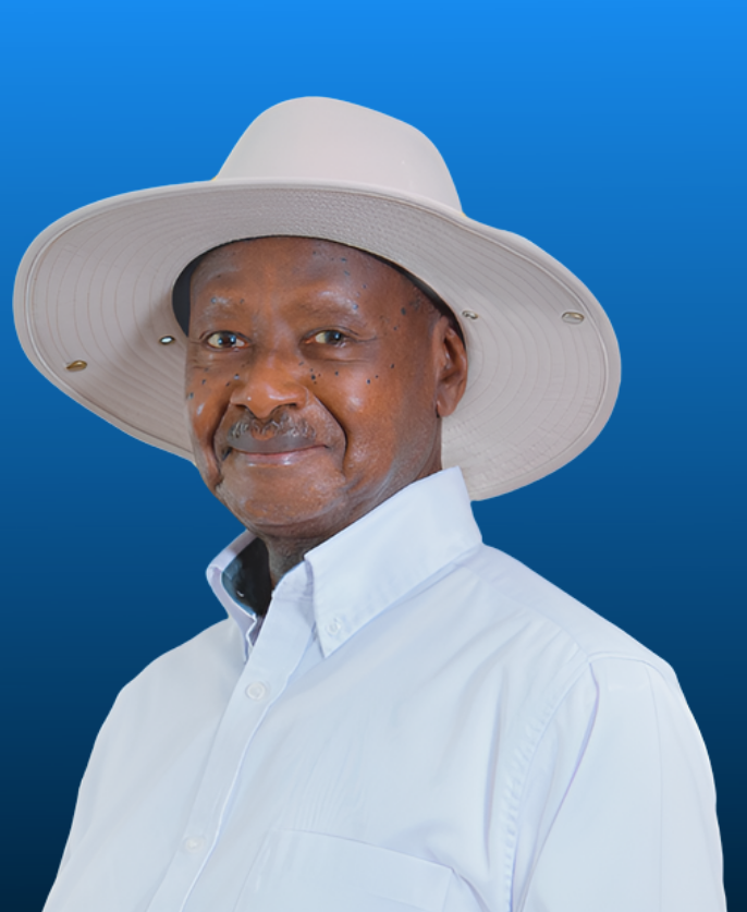
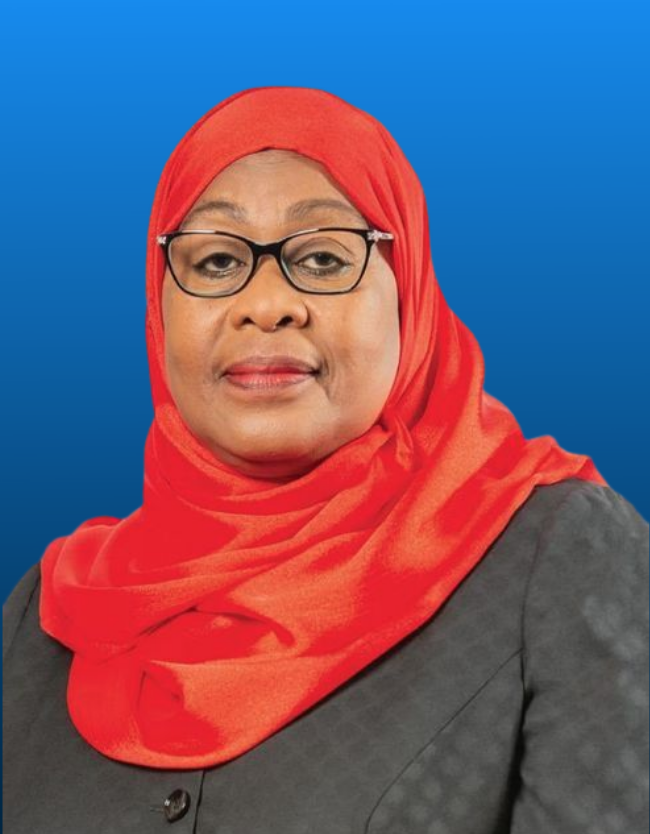
H.E President Paul Kagame    H.E President Yoweri Museveni   H.E President Samia Suluhu Hassan

The Summit comprising of Heads of Government of Partner States gives strategic direction towards the realisation of the goal and objectives of the Community.

Council of Ministers

Hon. Amb. Ezéchiel Nibigira

Hon. Deng Alor Kuol,
Chairperson, EAC Council of Ministers

Minister
Ministry of East African Community Affairs
Republic of South Sudan

Coordinating Committee

Adv Beny Mabor

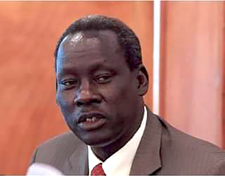
Hon. Adv. Beny Gideon Mabor
Under Secretary
Ministry of East African Community Affairs
Republic of South Sudan

EAC Organs


Heads of EAC Institutions

Republic of South Sudan

The Republic of South Sudan is also referred to as the youngest nation in Africa after gaining independence on 9 July 2011.

South Sudan became a full member of the East African Community on 5 September, 2016.

Key facts

Joined EAC: April 2016

Population: 12.3 million (2019 Statistics)

GDP (nominal): US$ 4.67 Billion (2019 Statistics)

Official language: English

Timezone: GMT + 3hr

Currency: South Sudanese Pound (SSP)

Geography

Area: 619,745 sq. km

Coastline: none

Capital city: Juba

Population density (per sq. km): 13.33

South Sudan is bordered by Sudan to the north, Ethiopia to the east, Kenya to the southeast, Uganda to the south, the Democratic Republic of the Congo to the southwest, and the Central African Republic to the west. It includes the vast swamp region of the Sudd, formed by the White Nile and known locally as the Bahr al Jabal.

Languages

English is the official languages; while Arabic (of Juba and Sudanese variants) and other languages such as Dinka, Nuer, Bari, Zande, Shilluk are widely spoken.

Communications

Country code 211; internet domain ‘.ss’.

Public Holidays

New Year's Day, Peace Agreement Day (9 January), Easter Sunday, International Labour Day (1 May), SPLA Day (16 May), Independence Day (9 July), Eid al-Fitr (End of Ramadan), Martyrs’ Day (30 July), Eid al-Adha (Feast of the Sacrifice), Christmas Day, Boxing Day and Republic Day (28 December).

Religious festivals whose dates vary from year to year include Good Friday, Eid al-Fitr (End of Ramadan) and Eid al-Adha.

Transport

South Sudan has 248 km of narrow-gauge, single-track railroad.

The busiest and most developed airport in South Sudan is Juba Airport. Other international airports include Malakal, Wau, and Rumbe.

International relations

South Sudan is a United Nations member state, a member state of the African Union and of the Intergovernmental Authority on Development. In July 2012, South Sudan signed the Geneva Conventions. South Sudan has also applied to join the Commonwealth of Nations, considering that it was part of the British Empire, and has 2 Commonwealth Republics, Kenya and Uganda as neighbouring states.

Topography

The Imatong Mountains are located in the southeast of South Sudan in the erstwhile state of Eastern Equatoria, and extend into Uganda. Mount Kinyeti is the highest mountain of the range at 3,187 metres and the highest in the whole of South Sudan. The range has an equatorial climate and has dense forests supporting diverse wildlife.
The Sudd is a vast swamp in South Sudan, formed by the White Nile, comprising more than 15% of the country's total area; it is one of the world's largest wetlands.

Climate

South Sudan has a climate similar to an Equatorial or tropical climate, characterized by a rainy season of high humidity and large amounts of rainfall followed by a drier season. The temperature on average is always high with July being the coolest month with an average temperatures falling between 20 and 30 °C and March being the warmest month with average temperatures ranging from 23 to 37 °C.

Environment

The most significant environmental issue is soil erosion as a result of overgrazing and the expansion of agriculture into marginal lands as well as deforestation due to little forested land remains because of uncontrolled cutting of trees for fuel. In addition, habitat loss threatens wildlife populations.

Vegetation

South Sudan’s main vegetational belts run in succession from northwest to southeast, more or less in coincidence with rainfall patterns. They are low-rainfall savanna (grassland), high-rainfall savanna, both with inland floodplains, and mountain vegetation regions.

Wildlife

The country’s wildlife includes lions, leopards, and cheetahs as well as elephants, giraffes, zebras, buffalo, hippopotamuses, warthogs, and numerous varieties of antelope, such as gazelles, elands, and hartebeests. Chimpanzees, baboons, and monkeys are found in the forests. Birdlife includes ostriches, several kinds of partridge, cranes, storks, pelicans, plovers, weavers, and shrikes. Reptiles include crocodiles and various lizards.


Opportunities at EAC


Employment

At present, more than 400 people are working for the various EAC Organs and Institutions in the 5 Partner States. While recruiting, the EAC seeks to secure the highest standards of efficiency, technical competence, professionalism and integrity.

Visit the Employment page

Consultancies

The EAC frequently engages experts under individual contracts to work on short-term projects as an individual consultant or a consortium. The location of assignments may be at the various EAC Organs or Institutions around the EAC Partner States.

Visit the Consultancies page


Procurement

The EAC is committed to finding suppliers and external collaborators with the appropriate professional standing and who share the Community’s values.

The selection of reliable partners is key to the value creation for stakeholders in order to ensure innovation, continuous improvement and to protect the integrity and reputation of EAC.

EAC Emblems

The East African Community emblems as spelt out in the Community Emblems Act, 2003* are the following:

  • The Community Flag
  • The Community Emblem (Logo)
  • The Official Seal of the Community

* The EAC Anthem (to be included after amendment of the Community Emblems Act, 2003)

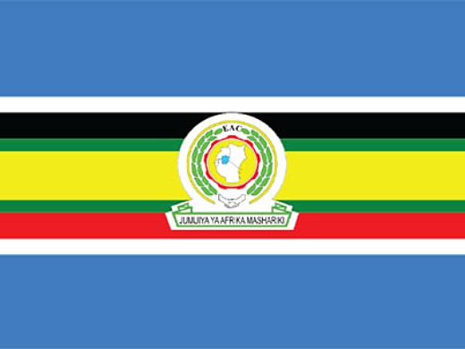
The Community Flag

eac flag

Interpretation of the colour format for the EAC Flag:

Blue background Lake Victoria signifying the unity of the EAC Partner States
White, Black, Green, Yellow, Red Representing the different colours of the flags of each of the EAC Partner States
Handshake East African Community; and
Centre East African Community logo


The Community Emblem (Logo)


eac logo

Interpretation of the EAC Logo:

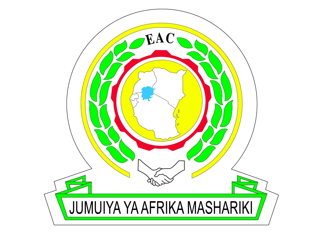
The Logo consists of a map of the five Partner States with Lake Victoria in prominence in a circle bordered by an industrial wheel. On both sides of the industrial wheel are two arches of leaves ending with the letters EAC at the top and a handshake at the bottom.

The lower part of the circle rests on a framework with the words Jumuiya ya Afrika Mashariki inscribed in black at the bottom of this framework. The Logo contains the same colours as are in the flag.


The EAC Anthem

The 12th Ordinary Summit of the EAC Heads of State meeting in Arusha adopted the EAC Anthem, Wimbo wa Jumuiya Afrika Mashariki, on 3 December 2010. The adoption of the Anthem brought to an end a decade-long search for a song that East Africans would call their own.

Wimbo wa Jumuiya Afrika Mashariki is a melodic three-stanza composition written in Kiswahili. It exhorts East Africans to pursue the virtues of unity, patriotism and hard work, while cultivating a spirit of comradeship.


1. Ee Mungu twaomba ulinde

Jumuiya Afrika Mashariki

Tuwezeshe kuishi kwa amani

Tutimize na malengo yetu.


Chorus

Jumuiya Yetu sote tuilinde

Tuwajibike tuimarike

Umoja wetu ni nguzo yetu

Idumu Jumuiya yetu.


2. Uzalendo pia mshikamano

Viwe msingi wa Umoja wetu

Natulinde Uhuru na Amani

Mila zetu na desturi zetu.


3. Viwandani na hata mashambani

Tufanye kazi sote kwa makini

Tujitoe kwa hali na mali

Tuijenge Jumuiya bora.


East African Community
EAC Close
Afrika Mashariki Road
P.O. Box 1096
Arusha
United Republic of Tanzania

Tel: +255 (0)27 216 2100
Fax: +255 (0)27 216 2190
Email: eac@eachq.org  |  sgoffice@eachq.org